

Surveyor in a high-visibility vest holding a site plan at a work site

OUR SERVICES

Surveying & Geosystems

Drone imaging, Leica equipment and 3D terrain models help inform planning before construction begins.

Start Your Project
Surveying & Geosystems

Understand the land before design decisions.

The surveying workflow uses Leica Geosystems equipment and drone-based imaging to gather site data before construction begins.

The resulting information supports 3D terrain models, structural alignment and decisions throughout design and construction.

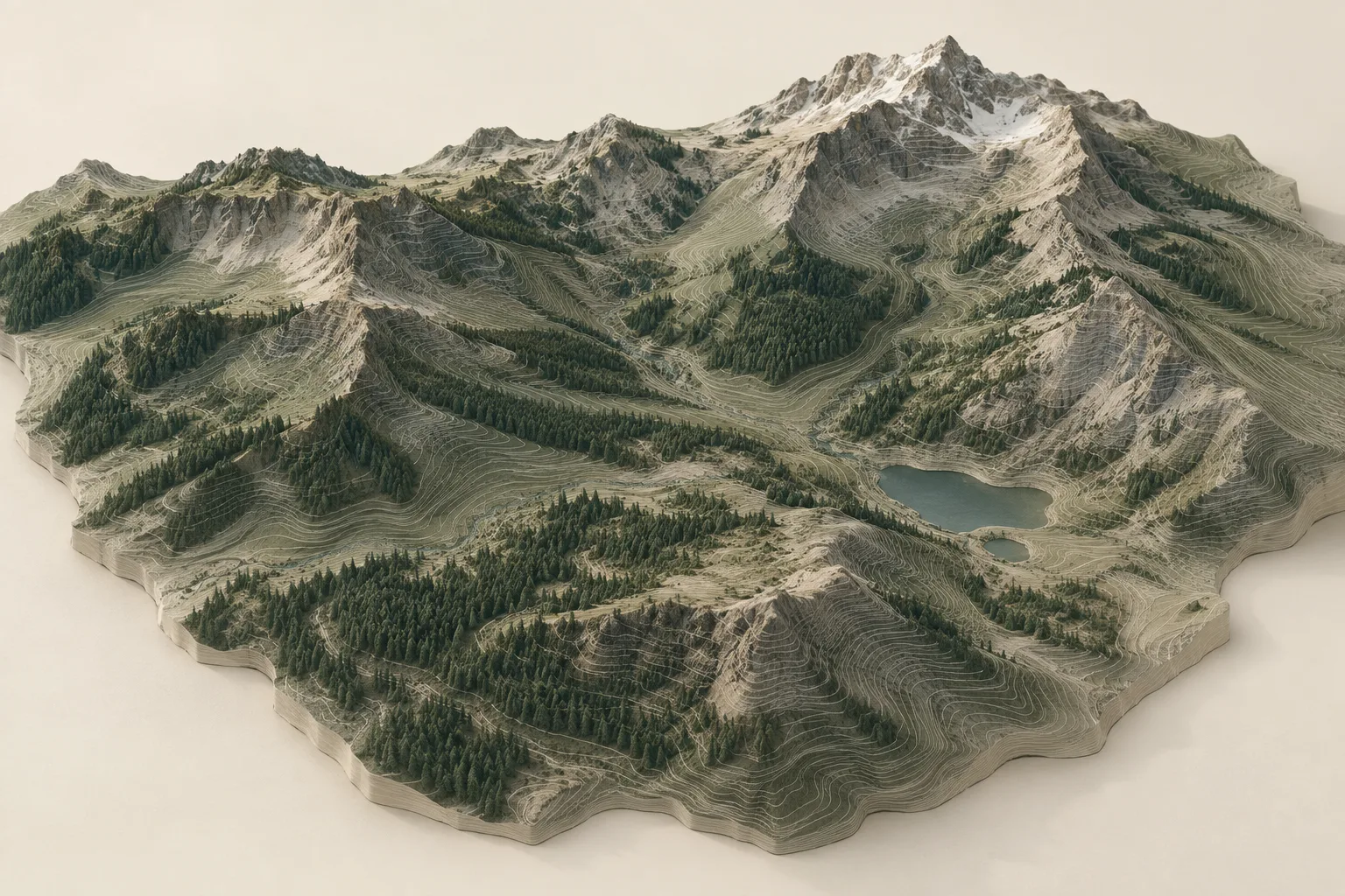
Conceptual three-dimensional terrain model with elevation contours, not a measured site survey
Conceptual terrain model. This illustration is not a measured survey or project site.

THE CRAFT

A more complete picture of the site.

Site information can include:

  • High-resolution topographic drone mapping
  • Leica total station and GNSS integration
  • 3D surface modeling and site grading analysis
  • CAD/BIM-compatible geospatial data
  • Elevation, slope and boundary verification
  • Real-time terrain intelligence for remote or rugged sites

YOUR PROJECT STARTS HERE

Tell us what you have in mind.

Share the type of project, its location and your timing.

Start Your Project